Add your promotional text...
Contact us at: 970-303-9299
Angel Eyes Aerial Solutions
Montrose, Delta and the West Slope, If you need aerial footage,
we have your solution.
Using advanced drone technology to provide tailored solutions specifically
designed to address your unique situation and meet
your individual needs effectively.
Serving the needs of Colorado's Western Slope.
FAA Part 107 and CDPS UAS Pilot Certified
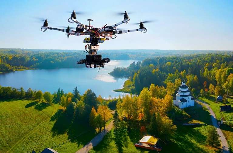
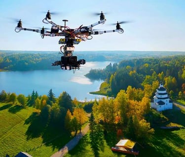
Professional Drone Services for Industry and Media
Precision Aerial Intelligence for Complex Sites
Projects fail when decisions are made with incomplete or outdated information. AeroSite Analytics solves that problem by delivering accurate, current, and measurable aerial data—so teams can plan, build, and verify with confidence.
As the technical division of Angel Eyes Aerial Solutions, AeroSite Analytics provides:
High-definition photo and video inspections
High-precision 2D and 3D mapping
Construction progress and safety monitoring
Earthworks and material volume calculations
Thermal inspections for buildings and infrastructure
Using professional drone systems and advanced data processing, we turn complex job sites into clear, actionable insight—reducing risk, improving communication, and supporting smarter decisions at every phase of a project.
Oh-Factor Imagery specializes in cinematic aerial photography and video that captures emotion, scale, and story. We create striking visuals for real estate, land, and brands that want to stand out — imagery designed to stop the scroll, spark curiosity, and make viewers say “Oh… wow.”
Our Creative Division offers:
-Interior and Exterior Real Estate packages that sell faster
-Business Advertising that strikes new interest
-HD Aerial Videography
-Capturing footage for Marketing, Tourism and film projects
Contact Us